Building date:
Original use:
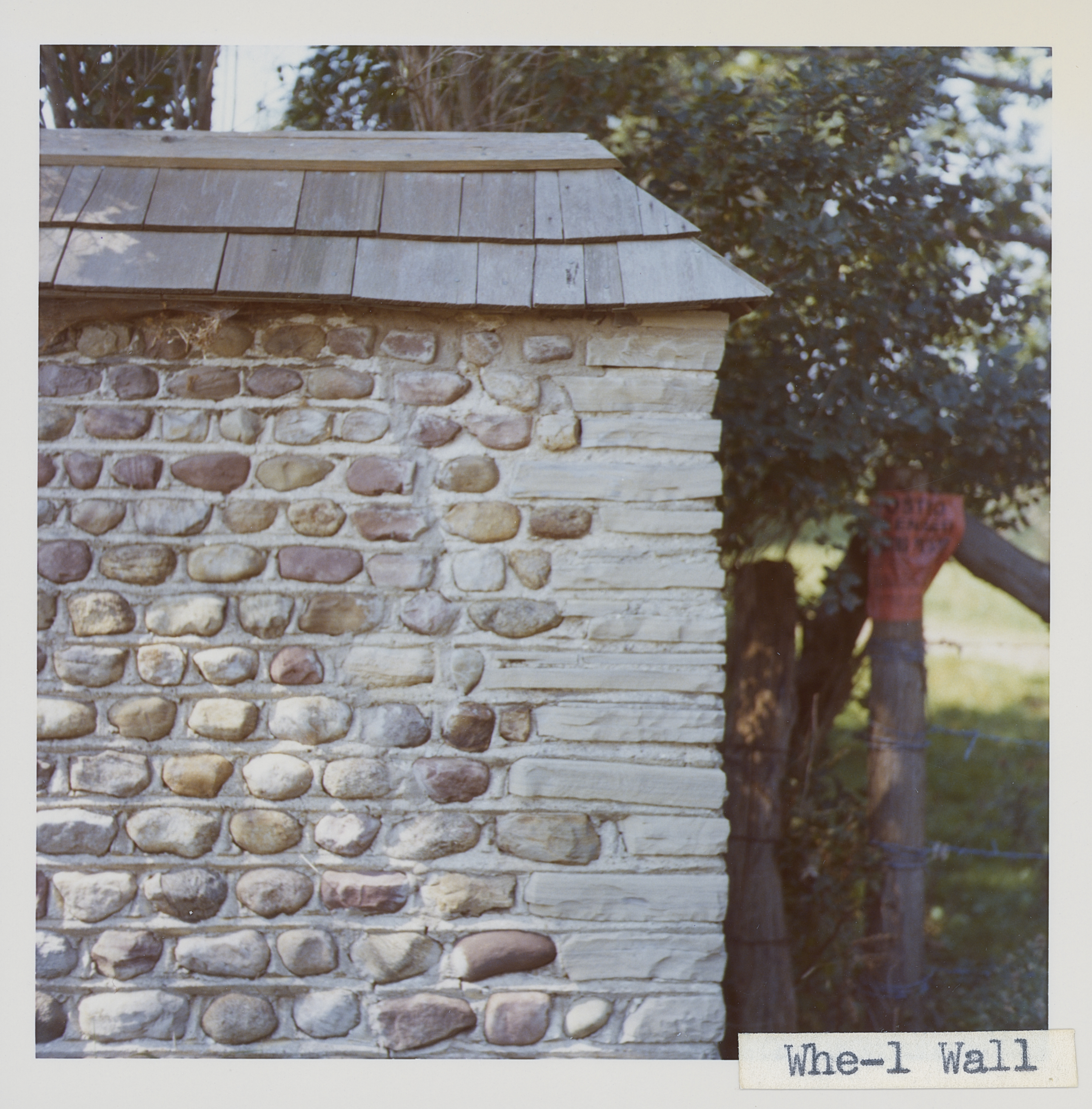
Corner structures:
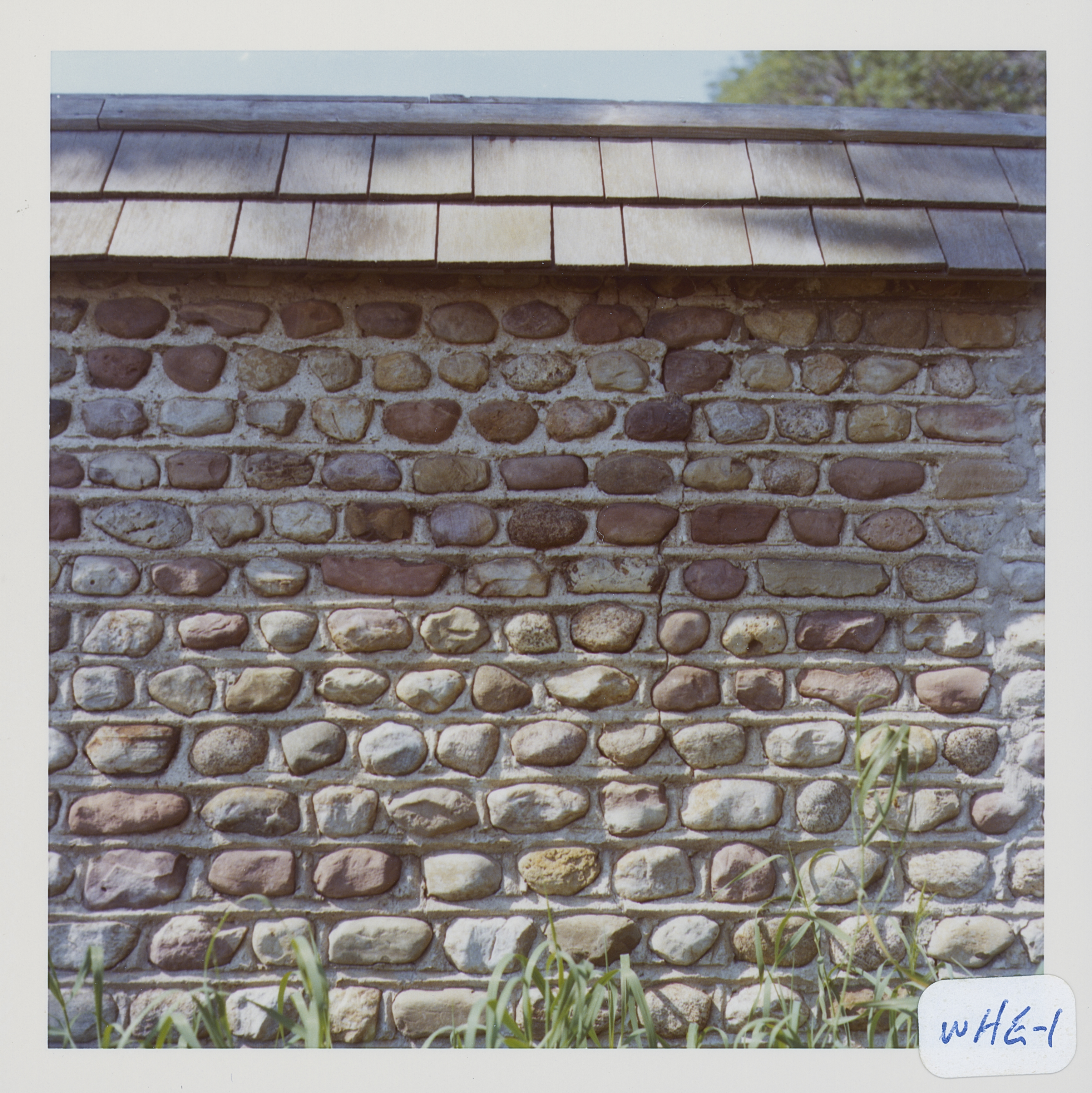
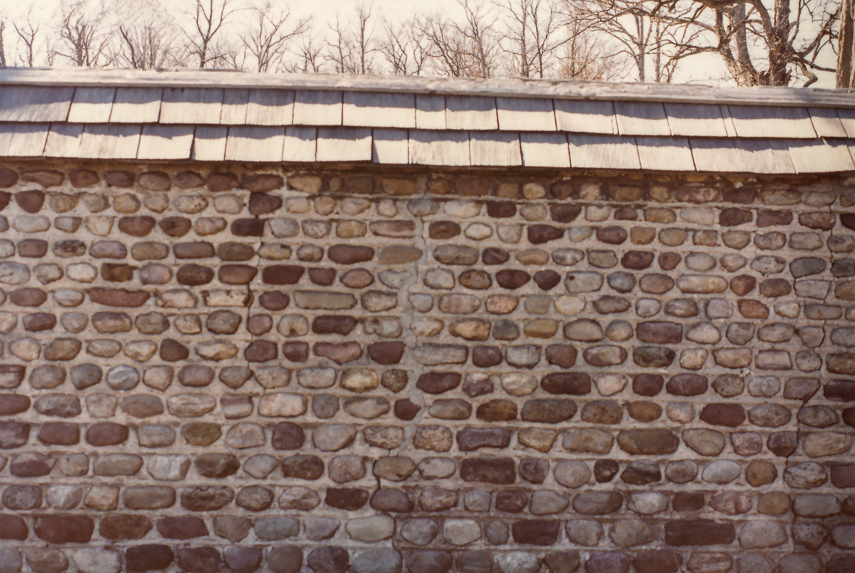
Mortar application and content:
Types and uses of stones:
Types and choice of windows:
Structures with similar masonry details:
Masons who worked on building:
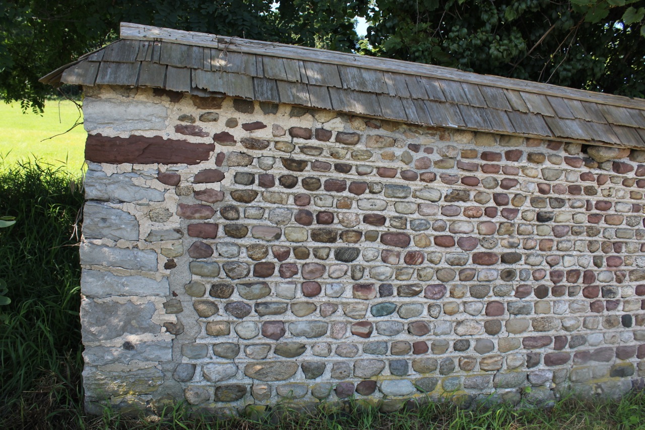
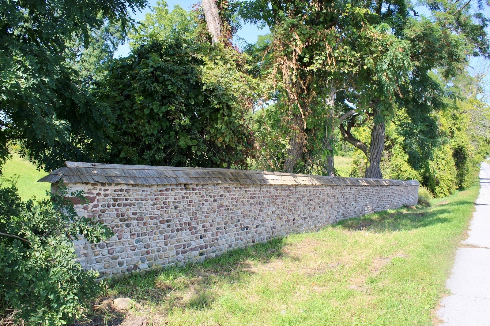
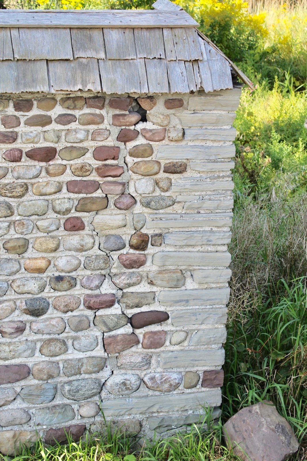
Unique features: Property line wall
Map views courtesy Google Maps. Address is Google Earth confirmed; 42°59'49.80"N 77°44'36.82"W. Current owner of record, Gascon/Schiano as of the 2018 Tax Roll.
Town of Wheatland and Monroe County Maps
Section of cobblestone wall which originally several hundred feet long was built by Isaac Cox to separate highway from gardens, orchards and duck pond north of house. It is about eight feet high. Richard Palmer blog.
The Cobblestone Society & Museum Tours:
Letson Wall 9th Annual 06/07/1969Not used tour draft document for the wall.
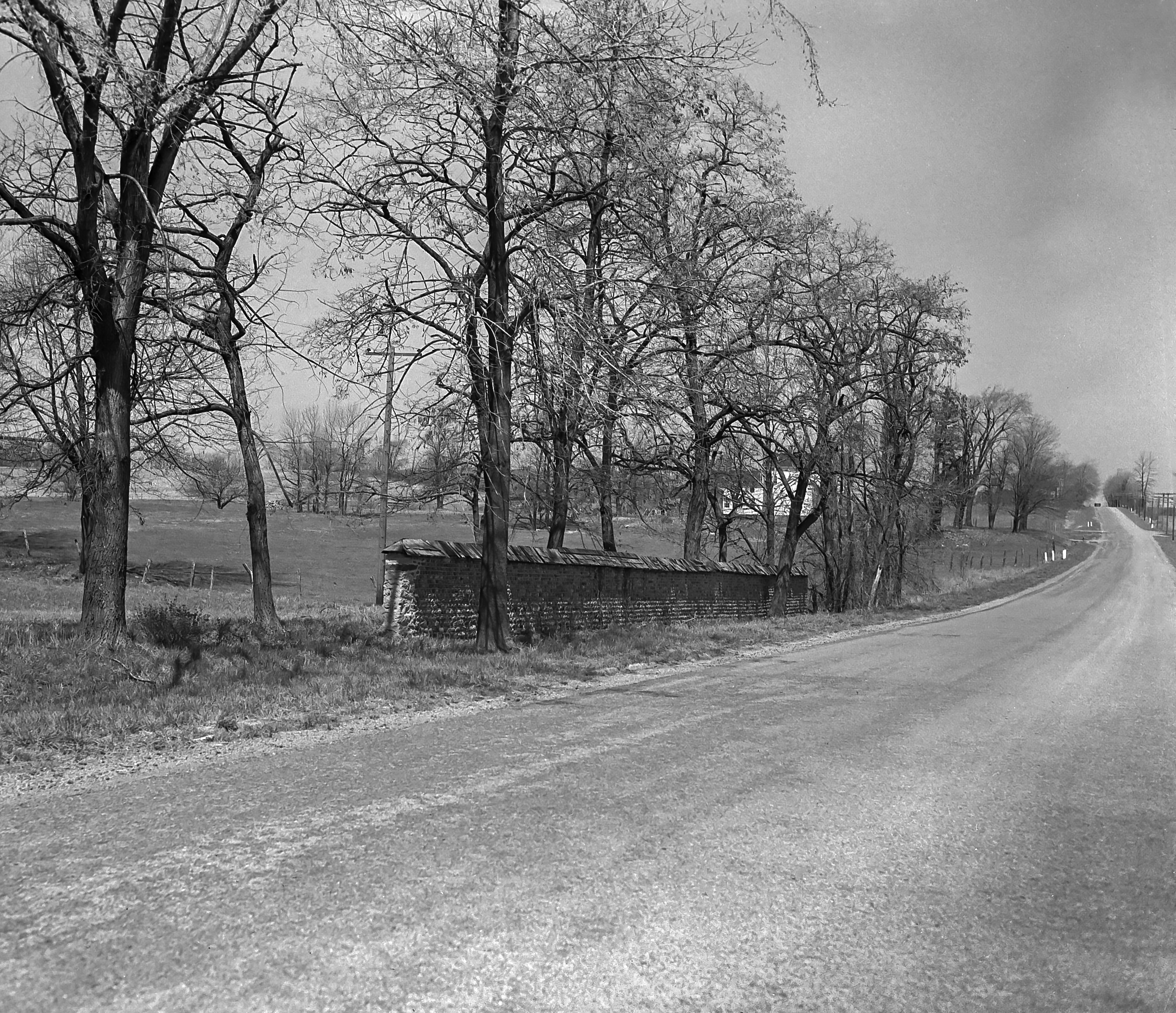
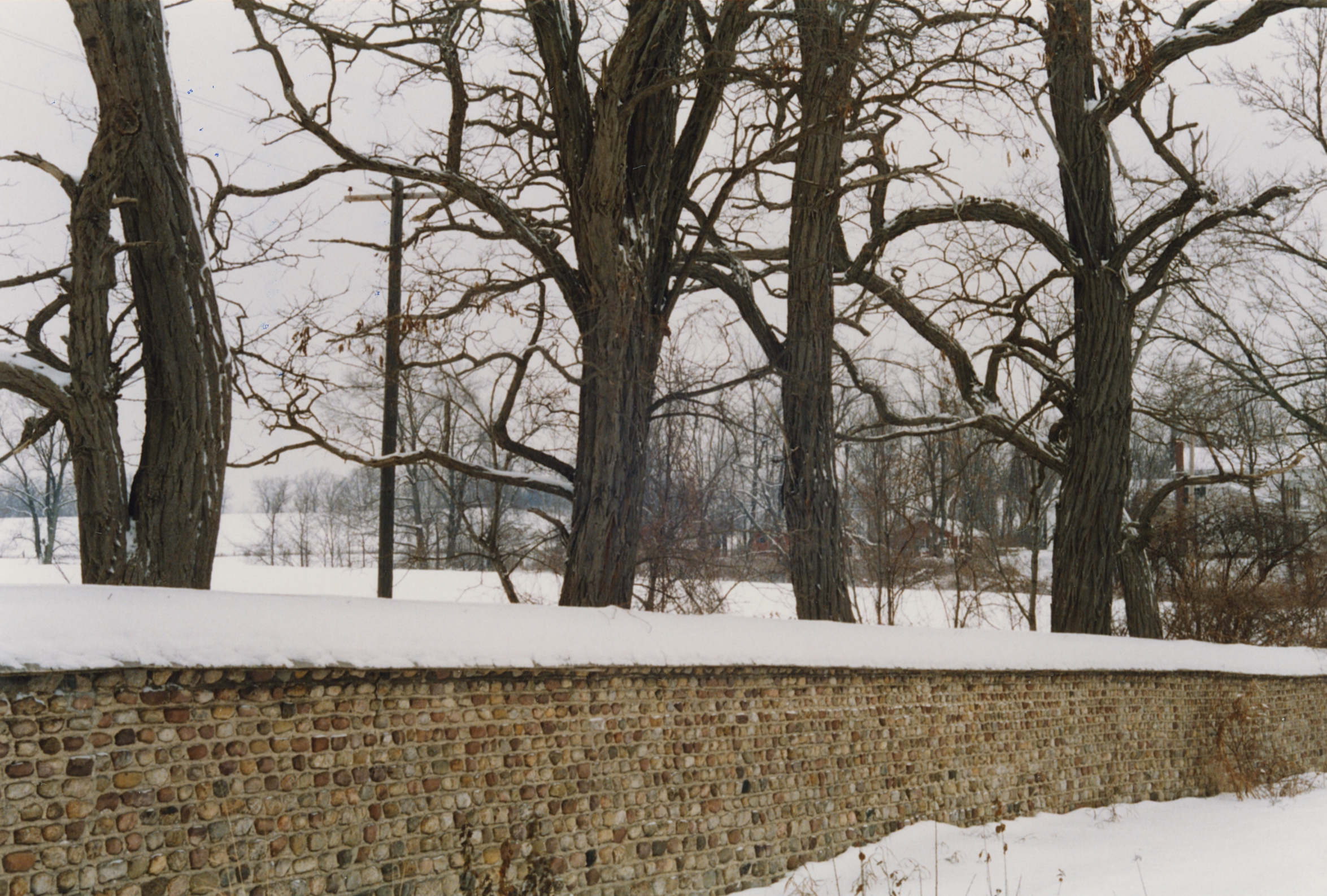
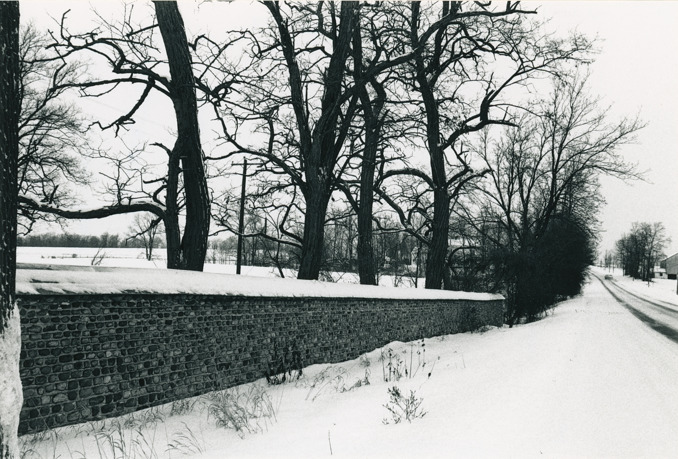
¹ Photography courtesy Gerda Peterich. Cobblestone Museum.
² Image courtesy Cobblestone Museum.
³ Photography courtesy Martin and Sheila Wolfish.
4 Photography courtesy Richard Palmer.
